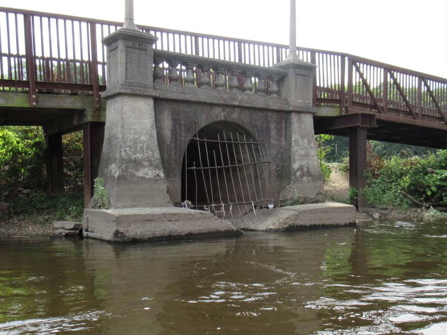
From January 2018 through May 2019, 6.7 billion gallons of diluted or partially treated sewage, called combined sewer overflows (CSOs) spilled into Michigan waters.
CSOs are the result of sewer systems that drain both stormwater runoff AND human and industrial waste. Eighty municipalities in Michigan have such systems, known as combined sewer systems.
Most times, combined sewer systems send it all to the local wastewater treatment plant. But during heavy rain events, they can be overwhelmed, and a mix of stormwater and raw or partially treated sewage spills into waterways.
This map shows water bodies affected by CSOs in the last year and a half – including the Black, Detroit, Grand, Manistique, Red Cedar, Rouge, St. Joseph, and Traprock rivers.
The clickable bubbles also give information on the municipalities the CSOs came from, and what downstream water bodies are affected.
The data for this map came from the Michigan Department of Environment, Great Lakes and Energy.
Copyright 2019 Michigan Radio


